See what a property is standing on.
One Texas address, checked against 37 public records at once, with the findings that cost money ranked first.
How it works
Find the lot
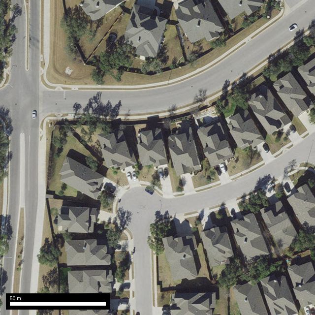
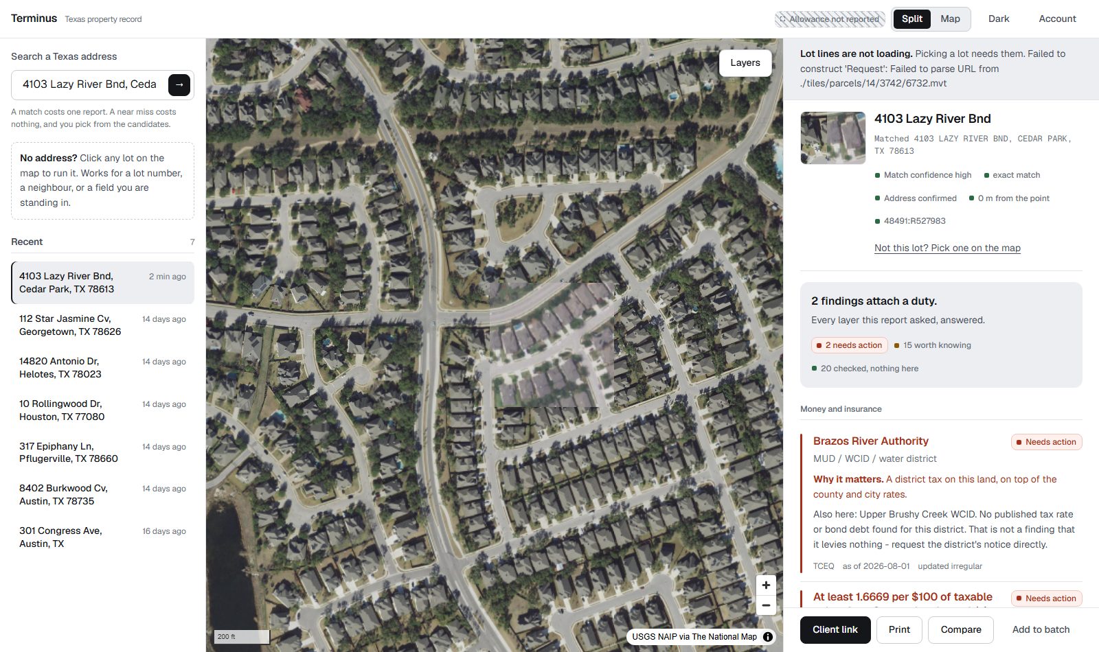
Type an address, or click any outlined lot on the map. The second way matters more than it sounds: about a quarter of Texas parcels have no address that resolves, and somebody standing on raw land has nothing to type.
Read the answer, not the dataset
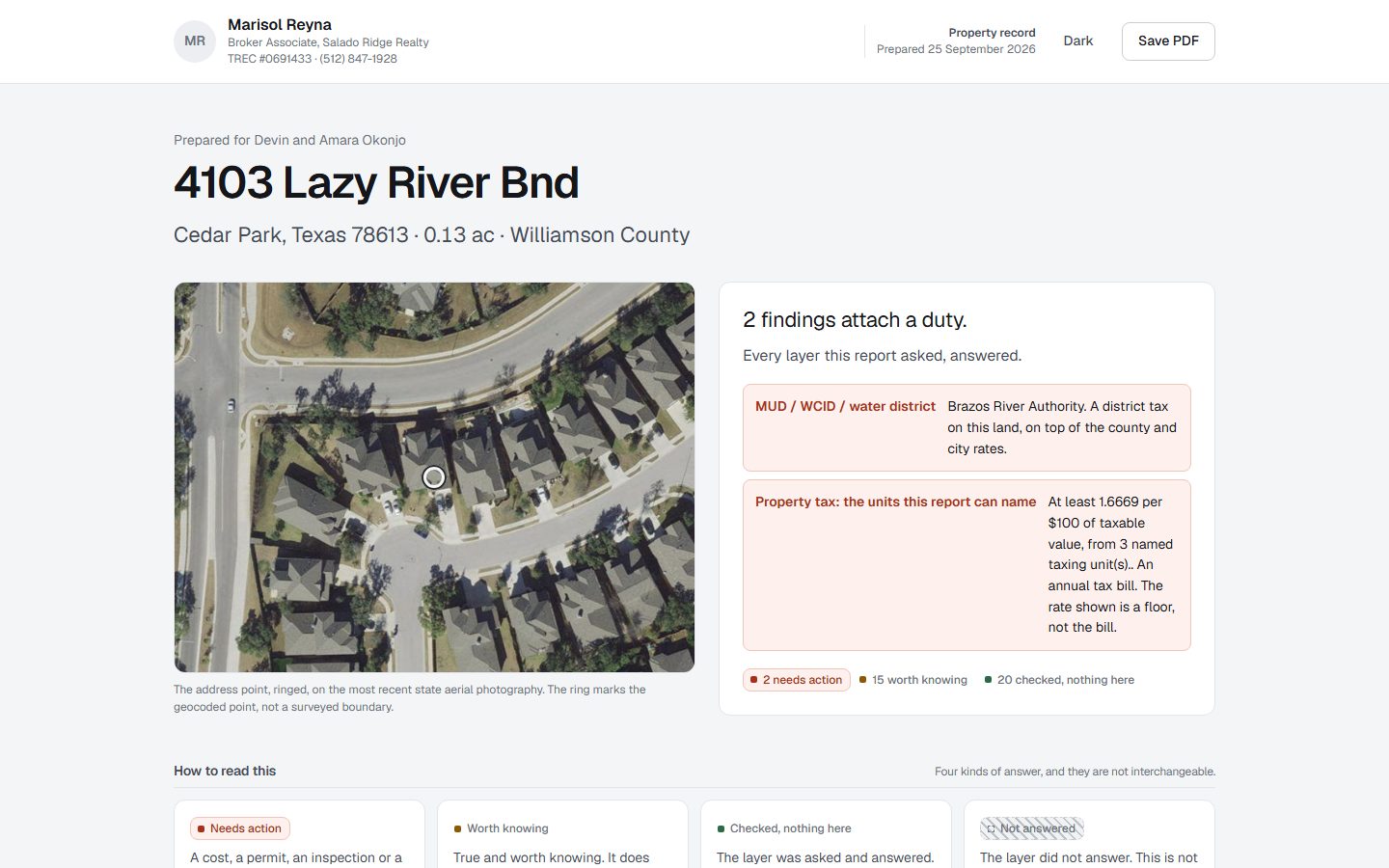
Every finding leads with what is true about the property. The name of the government layer it came from is the caption underneath, with the agency, the date and whether the answer came from a stored copy or a live service.
Hand it to the client
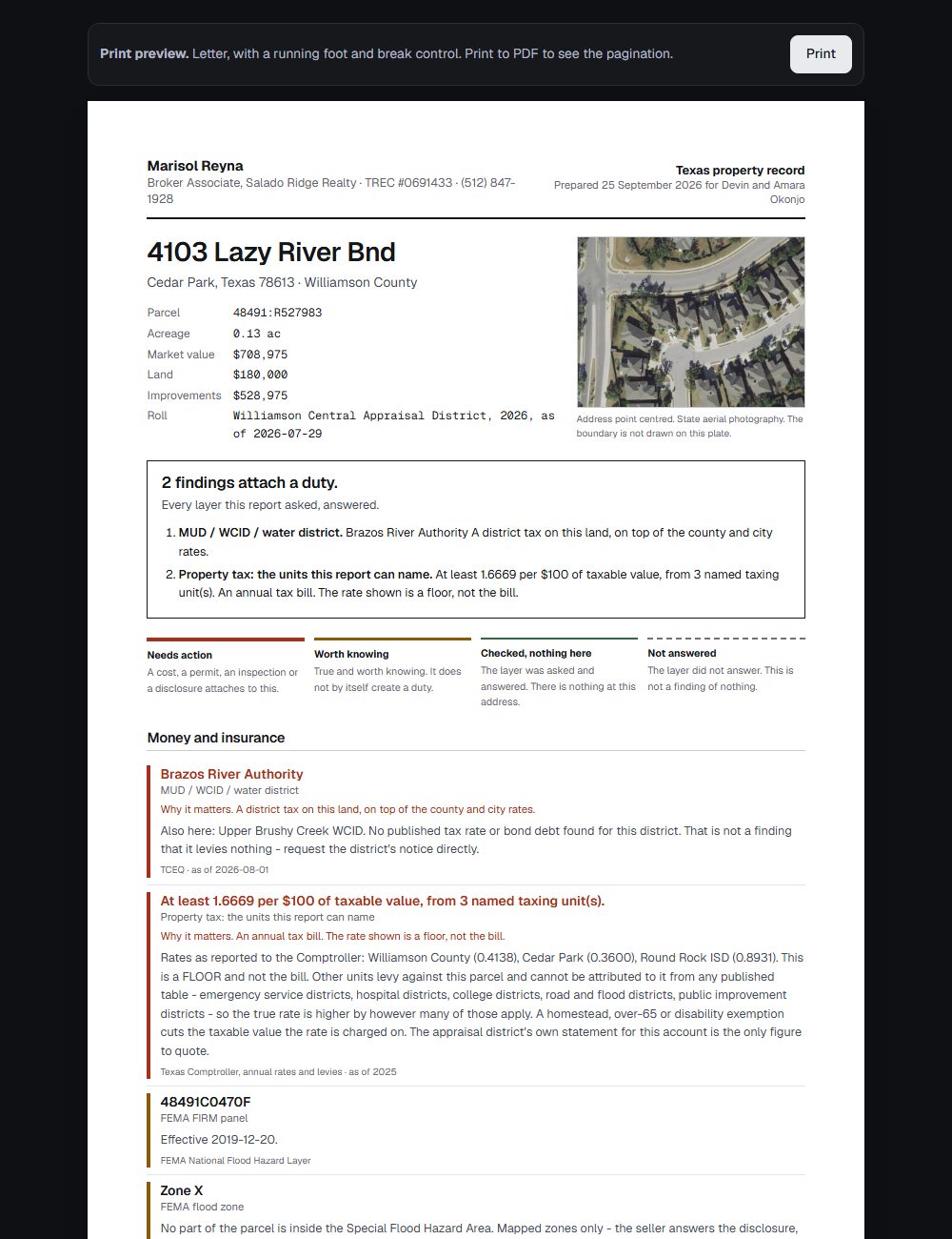
The sheet carries the agent's name and licence, not ours. It prints to Letter with a running foot, and a finding never splits across a page break.
Four kinds of answer, and they are not the same
Most of this product is one idea: an empty answer has to be earned. A layer that was asked and said "nothing here" is a finding. A layer that could not be reached is not, and it never gets to look like one.
What is real in this demo
The same question the product asks of a government service, asked of itself.
- The reports
- Real. Every finding, every caveat and every source line is this product's own output, fetched for real lots on the date shown. None of it is written for the demo.
- The map
- Real. The lot lines are the statewide parcel archive and the photograph is USGS aerial imagery, both bundled for this one neighbourhood so the demo needs nothing running behind it.
- The neighbourhood
- Bounded. The demo answers for the lots it carries. The product answers for any address in Texas, and the demo says so when you reach its edge rather than showing you an empty grid.
- The agent
- Invented. Marisol Reyna and Salado Ridge Realty stand in for the name, licence and brokerage a real account would print on the sheet.
- The owner names
- Public record. They come from the county appraisal roll, which is published by law.
Have a look
Start on the map, click a few lots, then open the sheet a buyer would receive. Nothing here can be broken by clicking it.
Terminus reports what public agencies have published about a location as of the dates shown. It is not a flood, wetland, zoning, title or survey determination, and nothing here replaces a seller's disclosure, an appraisal, a survey or a call to the authority that governs the property.